


Why have as many as 1,000 ships at times lost their GPS signals in the Middle East?
Why have as many as 1,000 ships at times lost their GPS signals in the Middle East?
The GPS capabilities of cargo ships, oil tankers and other vessels stranded in the Middle East amid the expanding conflict are often less advanced than those found in ordinary smartphones.
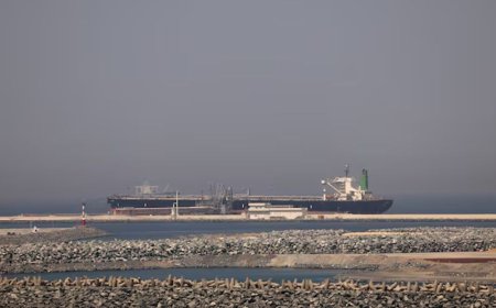
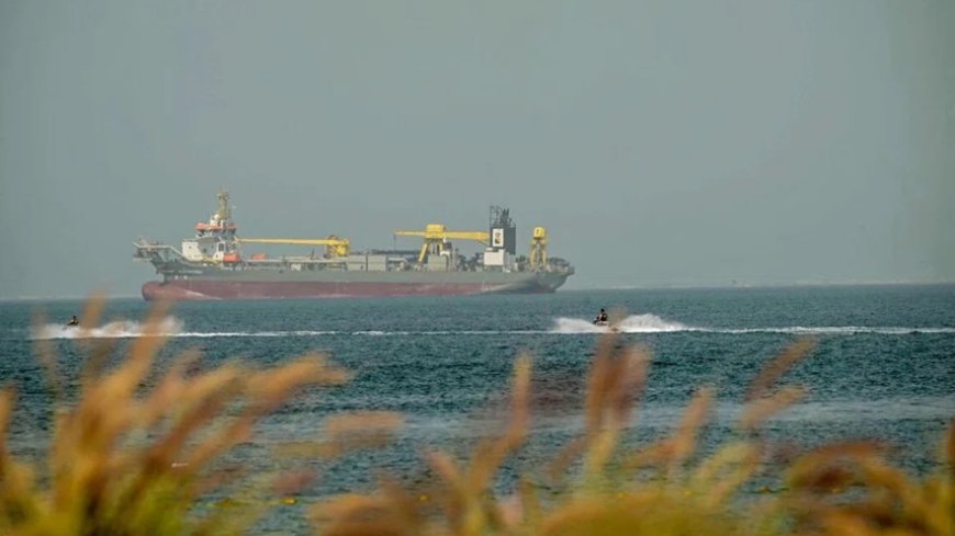
Experts say this shortcoming helps explain why, since the start of the US-Israeli strikes, the jamming of satellite navigation signals has left roughly 1,000 ships in the Gulf and the Gulf of Oman unable to determine their location, either intermittently or for extended periods. Dimitris Ampatzidis, a senior risk and compliance analyst at energy market intelligence firm Kpler, told AFP that this represents about half of the vessels operating in the area.
Most of the affected ships are located off the coasts of the United Arab Emirates and Oman. Satellite navigation works through a network of satellites that transmit timing signals to Earth, allowing receivers to calculate their exact position.
Modern smartphones can receive signals from four satellite systems: the American GPS, Europe’s Galileo, Russia’s GLONASS and China’s BeiDou global navigation satellite systems (GNSS).
Many phones now use two GPS frequency bands—an older, weaker signal and a newer, stronger one. However, according to Todd Humphreys, an engineering professor at the University of Texas at Austin, many ships rely only on the original civilian GPS signal, known as the L1 C/A signal, which has been in use since the early 1990s.
As a result, most vessels cannot easily switch to alternatives such as the BeiDou or Galileo systems if GPS signals are jammed. The situation is even more restrictive in aviation due to regulatory requirements. Humphreys noted that no aircraft currently flying is equipped with a built-in GPS receiver capable of processing signals beyond the GPS L1 C/A signal, leaving aviation technology about 15 years behind current capabilities.
Spoofing
Jamming a GPS signal is relatively simple, said Katherine Dunn, author of the forthcoming book Little Blue Dot, which explores the history of GPS. It can be done by transmitting a stronger radio signal on the same frequency, effectively drowning out the genuine signal.
A more complex and dangerous technique is spoofing, which interferes with a ship’s Automatic Identification System (AIS). Every vessel broadcasts its identity, destination and position once per second over a standard radio frequency.
Through spoofing, attackers can manipulate this system, causing a ship to transmit false or even nonsensical coordinates. In such cases, vessels may appear on tracking systems as if they were located on land in places such as Iran or the United Arab Emirates.
Clocks and navigation
GPS signals are now used for more than determining location. They also support onboard clocks, radar systems and speed logs, Dunn explained.
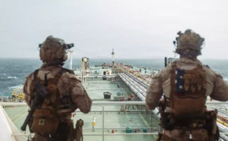
This means that even if ships near the UAE or Kuwait were shielded from drone attacks and escorted through the Strait of Hormuz, navigating without GPS would still be extremely risky.
Given the size of modern vessels, electronic navigation has become essential, said a merchant marine captain who has sailed cargo ships worldwide. Without GPS, crews must revert to traditional methods such as radar and visual landmarks.
Defensive jamming
Signal jamming is likely being used both offensively and defensively. Gulf states are reportedly directing jamming systems toward their own coastlines to disrupt Iran’s satellite-guided Shahed drones—accepting the disruption to civilian navigation as a necessary trade-off.
Israel adopted similar measures in 2024, and Iran also used jamming after its 12-day conflict with Israel last year.
Humphreys noted that even if GPS disruptions affect domestic air and maritime traffic—or everyday services such as delivery apps or navigation tools—countries are still willing to deploy the technology for security purposes.
While start-ups are developing alternative navigation methods based on the Earth’s magnetic field or inertial systems, for now ships still rely heavily on GPS, making fully independent navigation a distant prospect.
What's Your Reaction?